
Project Profile:
Waterfront Transit
While bridges create the physical connection, transit creates the network.
A Connected Waterfront Needs Connected Transit
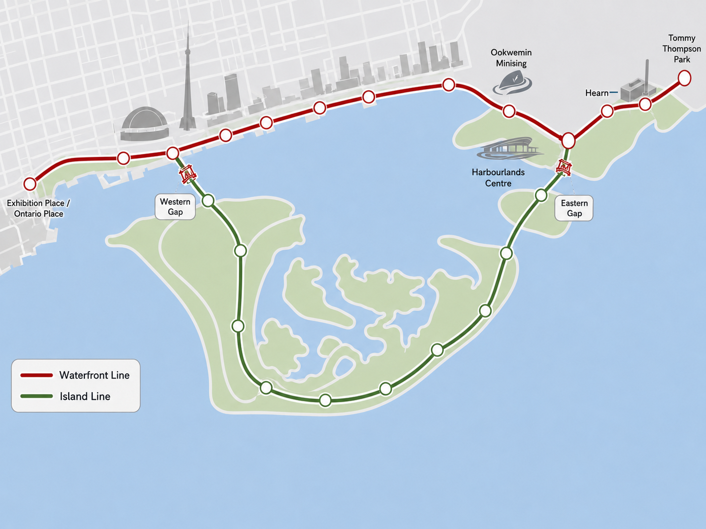
Harbourlands would bring together destinations stretching from Ontario Place and Exhibition Place through Harbourfront, the Toronto Islands, and the Port Lands to the Hearn and Tommy Thompson Park.
For those places to function as one destination, people need to move easily between them.
The conceptual transit system therefore combines two complementary services: a high-capacity Waterfront Line along the mainland and a smaller, quieter Island Line connecting the Islands and Port Lands.
Two lines. One connected waterfront.
The Waterfront Line
Toronto is already expanding waterfront transit eastward from Union Station toward the Port Lands.
Harbourlands would build on that investment.
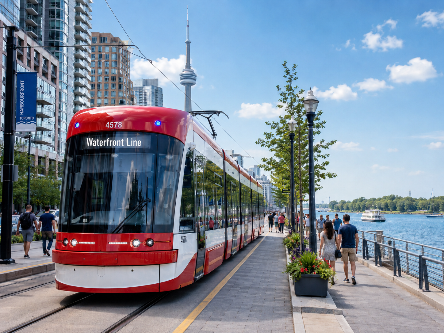
The Waterfront Line could serve as the principal high-capacity transit spine along the mainland, connecting major destinations such as Ontario Place, Exhibition Place, Harbourfront, the Port Lands, and a potential Harbourlands Centre.
Rather than creating an isolated convention or entertainment district, transit would connect these destinations to the rest of downtown and to the regional transportation network through Union Station.
The Island Line
The Islands call for a different kind of transit.
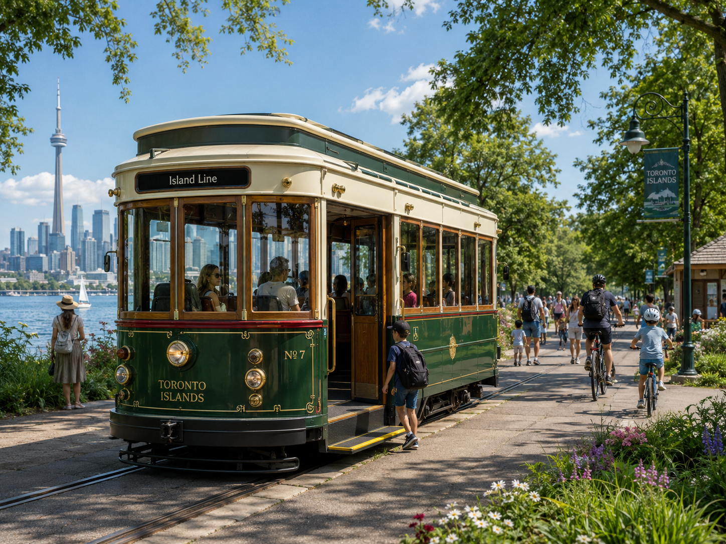
A smaller, quieter battery-electric vehicle could connect the western waterfront, the Toronto Islands, and the Port Lands while respecting the recreational character of the Islands.
The Island Line could serve beaches, parks, Centreville, neighbourhoods and other Island destinations before continuing across the Eastern Gap toward the Port Lands.
It would make the Islands dramatically easier to explore while reducing dependence on ferry bottlenecks.
Bridging the Harbour
The missing links are the Western and Eastern Gaps.
Conceptual moveable bridges could allow pedestrians, cyclists, and battery-assisted transit vehicles to cross while continuing to provide access for marine traffic.
That would create something Toronto has never had:
A continuous surface transit connection around the inner harbour.
Visitors could move from downtown to the Islands and onward to the Port Lands without returning to the mainland by ferry or car.
One System, Different Experiences
The Waterfront Line and Island Line do not need to be identical. The mainland requires higher-capacity urban transit; the Islands call for something smaller and more compatible with a park environment.
What matters is that they connect seamlessly.
A visitor arriving at Union Station could travel through Harbourfront and the Islands to the Port Lands, Harbourlands Centre and the Hearn—all without needing a car.
Connecting Toronto's Destinations
The value of transit is not simply that it moves people.
It connects places.
Parks become more accessible. Convention visitors can reach restaurants, cultural attractions and the Islands. Residents gain easier access to recreation. Hotels become better connected to major destinations. Attractions begin to reinforce one another.
That is the network effect at the heart of Harbourlands.
Connection turns individual destinations into one great waterfront experience.
A Network That Can Be Built in Stages
Phase One — Extend the Waterfront Line
Extend the existing 509 from Exhibition Place through Ookwemin Minising toward the potential Harbourlands Centre site.
Phase Two — Complete the Port Lands Connection
Extend waterfront transit east toward the Hearn and Tommy Thompson Park as the Port Lands develop.
Phase Three — Connect the Island Line
If an airport transition were ultimately approved, connect the western waterfront, Islands and Port Lands through the two moveable bridges.
A Concept to Be Studied
The routes, vehicles, bridge designs, capacity, operating model and relationship with existing TTC services would all require detailed study.
Harbourlands does not prescribe those answers.
It asks a larger question: